Three examples of using GISELLA
Mapping (not only) of your city – thanks to its simple user interface, the application allows you to monitor the status of traffic signs, public green areas, local roads, underground utilities, playgrounds or public lighting. This helps to effectively target different attributes in the field, manage and update the digital passport.
The mayor of the village has drawn up a passport for public lighting and local roads. He imported the data into the Gisella application, while the mobile phone he always carries with him. In case of any change, the mayor may simply update the mobile phone immediately, or deliberately update the passports within a given time period. In addition to the passports, he can record other things, that can be seen in the ordinary movement around the village, for example, potholes on the roads, broken curbs, broken branches on the tree, or also simply collect suggestions directly from the citizens.
Accurate GPS tracking and quick sharing with colleagues or friends. Can’t you just share your location? You can also add audio recordings, photos and videos to your point of interest.
We will buy an orchard. We want to record the location, tree type, or current status and other attributes. We will download a freely available land register and import our parcel to Gisella. During the year, we monitor orchard, record revenues, or add photos. Thanks to the application, we will have all the attributes we choose at one place in one timeline.
Data management from sociological research has never been easier – different places, people, interviews, questionnaires. Many attributes and data that need to be processed and organized. This work will be done for you by the application while collecting data by adding the appropriate attributes that will make future work with data much more efficient and faster.
University students have the task of developing sociological research on the satisfaction of the given locality’s citizens in the city. Each team member processes a questionnaire in another city location. Interviews can easily be uploaded directly to the app with accurate GPS localization. The collected data and questionnaires can easily be shared with each other and exported to a computer with all the features that students have recorded.
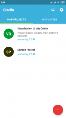
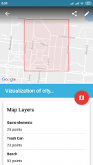
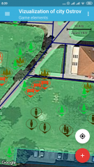
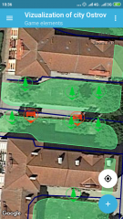
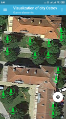
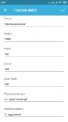
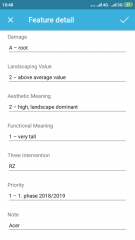
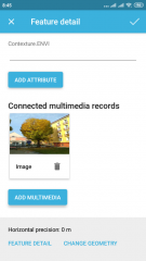
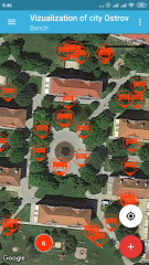
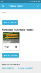
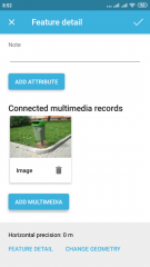
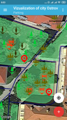
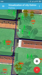
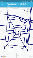
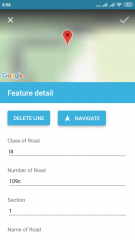
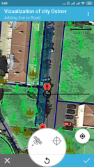
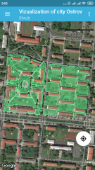
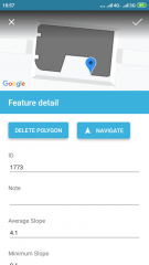
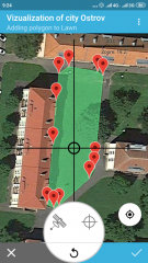
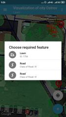
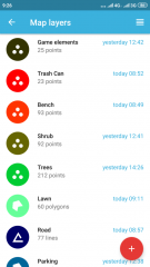
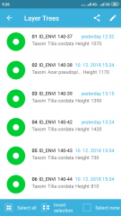
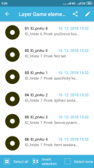
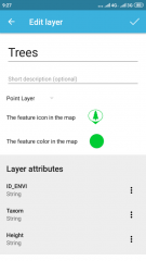
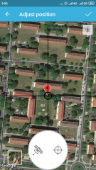
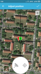
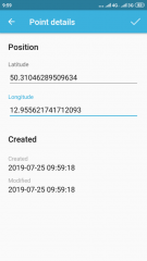
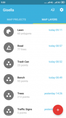
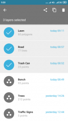
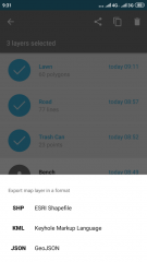
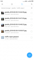
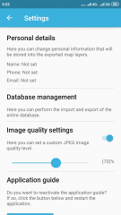
Screenshots from field data collection
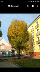
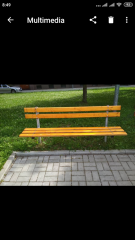
The following gallery will show you some examples of the processing of two blocks of furniture, greenery and local roads passports in Ostrov.
